

Transform scanned as-builts and legacy maps into GIS-ready intelligence.
As-Built Digitization
-
Who It's For
GIS managers, engineering consultants, and utility asset planners who need to convert decades of paper maps and scanned as-builts into usable, digital geospatial data — quickly, accurately, and affordably.
Utilities rely on historical records, but most are trapped in PDFs, TIFFs, and CAD scans that can’t be analyzed or integrated with modern GIS systems. As-Built Digitization solves that problem.
It’s built for organizations ready to modernize their mapping workflows, eliminate manual tracing, and unlock the full value of their existing infrastructure records without the cost of re-digitization by hand.
-
What It Is
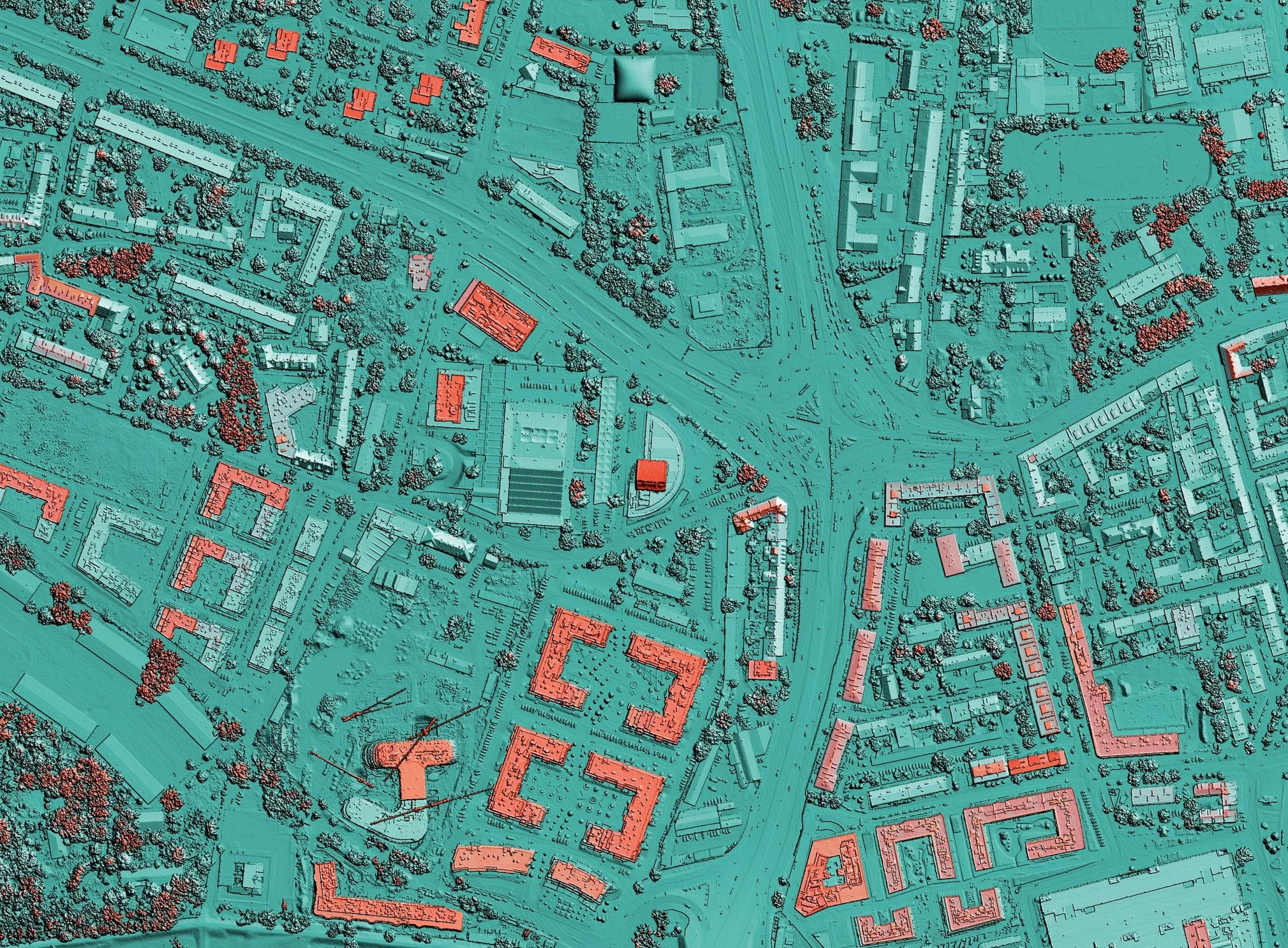
As-Built Digitization is Fracta’s AI-powered raster-to-vector digitization system that automatically converts scanned or raster-based maps into clean, georeferenced, GIS-ready data layers.
Using advanced computer vision, OCR, and machine learning, As-Built Digitization identifies and traces pipe networks, labels, and features directly from as-built drawings. It removes borders, legends, and artifacts — leaving only precise vector centerlines and connected topology.
The result is GIS intelligence at scale: high-accuracy digital networks that can be analyzed, visualized, and integrated directly into your asset management system — at a fraction of the cost and time required by traditional engineering digitization.
As-Built Digitization bridges the gap between old and new — turning stacks of legacy drawings into structured spatial data you can actually use.
-
Why Consultants Use It
Reclaim Lost Project Data
Engineering firms often inherit decades of scanned as-builts, record drawings, and legacy maps that are locked in PDFs or TIFFs — too slow or expensive to digitize manually. As-Built Digitization converts those archives in hours, not months, delivering accurate, connected GIS layers that engineers can immediately build upon.
Deliver More, Spend Less
Traditional digitization can cost hundreds of dollars per sheet and still require manual cleanup. As-Built Digitization automates the process using AI, producing consistent, high-precision data for a fraction of the cost and effort it takes to digitize by hand. That efficiency lets firms take on more projects, increase margins, and deliver faster.
Build Smarter, Integrated Workflows
Once digitized, drawings can be integrated directly into Fracta’s LOF, COF, and Total Risk models — giving engineers the ability to pair new design projects with predictive analytics. This turns static legacy records into actionable intelligence, improving everything from hydraulic modeling to capital planning.
-
How It Works
As-Built Digitization combines computer vision, machine learning, and geospatial intelligence to automatically convert scanned maps into accurate, GIS-ready vector data — eliminating the need for manual tracing or cleanup.
The process begins with raster ingestion, where AI models detect and extract true pipe centerlines, valves, and annotations from scanned as-builts. Advanced filtering then removes noise — such as borders, legends, and text boxes — leaving only clean, continuous network features. Next, OCR and large language models (LLMs) identify map coordinates, street names, and other reference points to automatically georeference each drawing with high spatial precision.
Once the geometry is aligned, As-Built Digitization’s language models parse labels and notes to assign attributes like material, diameter, and installation year, creating complete, connected datasets that mirror real-world assets. Each output is validated against control points and residual error metrics to ensure engineering-grade accuracy before being exported in GIS-compatible formats such as GeoJSON, SHP, or file geodatabase.
In short, As-Built Digitization turns stacks of scanned maps into intelligent, quality-assured geospatial data — ready to analyze, integrate, and use across any modern GIS platform.